

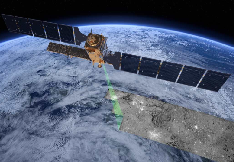
In September 2020 NICFI entered into a contract worth up to NOK 400 million (approx. USD 43 million) with Kongsberg Satellite Services (KSAT) and its partners Airbus and Planet to provide universal access to such images. The NICFI Satellite Data Program has thus far registered over 11,000 users from 145 countries around the world. And many more are accessing the data through the Global Forest Watch platform.
The NICFI Satellite Data Program covers all the main forest regions of the world. User are registered in Brazil, Cambodia, Cameroon, Colombia, Costa Rica, Democratic Republic of the Congo, Ecuador, Ghana, Guyana, Honduras, Laos, Mekong Region, Mexico, Mozambique, Nepal, Panama, Papua New Guinea, Peru, Senegal and Vietnam.
The unique satellite data program is led by KSAT, with partners Planet and Airbus. It provides universal access to high-resolution satellite monitoring of the tropics and the aim is to support efforts to reduce and reverse the loss of tropical rainforests.
The first three years of the program have shown the value and impact that opening up commercial satellite data in this unprecedented way has to users from forest country governments, NGOs and civil society, private sector and to the media with over 1400 user stories collected to date.
The high-resolution satellite images provide a comprehensive overview across the tropical forest region between 30 degrees noth and south and are updated monthly. Anyone can become a user and thereby access image archives that include mosaic data back to 2015 and be able to view, download, stream, analyse and make derived products from this data for non-commercial purposes (not in the pursuit of profit).
The Central African Forest Initiative (CAFI) is a partnership between eight donors and six partner countries, including the Central African Republic, the Democratic Republic of the Congo (DRC), the Republic of Cameroon, the Republic of Congo, the Republic of Equatorial Guinea, and the Republic of Gabon.
CAFI uses the satellite data to validate and classify drivers of deforestation and degradation to protect the Central African forest. According to Remi D’Annunzio, FAO’s REDD+ National Forest Monitoring Coordinator for Africa, “Anywhere in the Central African forest where degradation is happening, we were missing a substantial amount of even easy to detect degradation with anything else other than the Planet-NICFI data.”
In partnership with UN Food and Agriculture Organization, CAFI is hosting regular workshops with technical practitioners from the six member countries and beyond, to support their work with the satellite data to track and classify drivers of deforestation and forest degradation over time.