

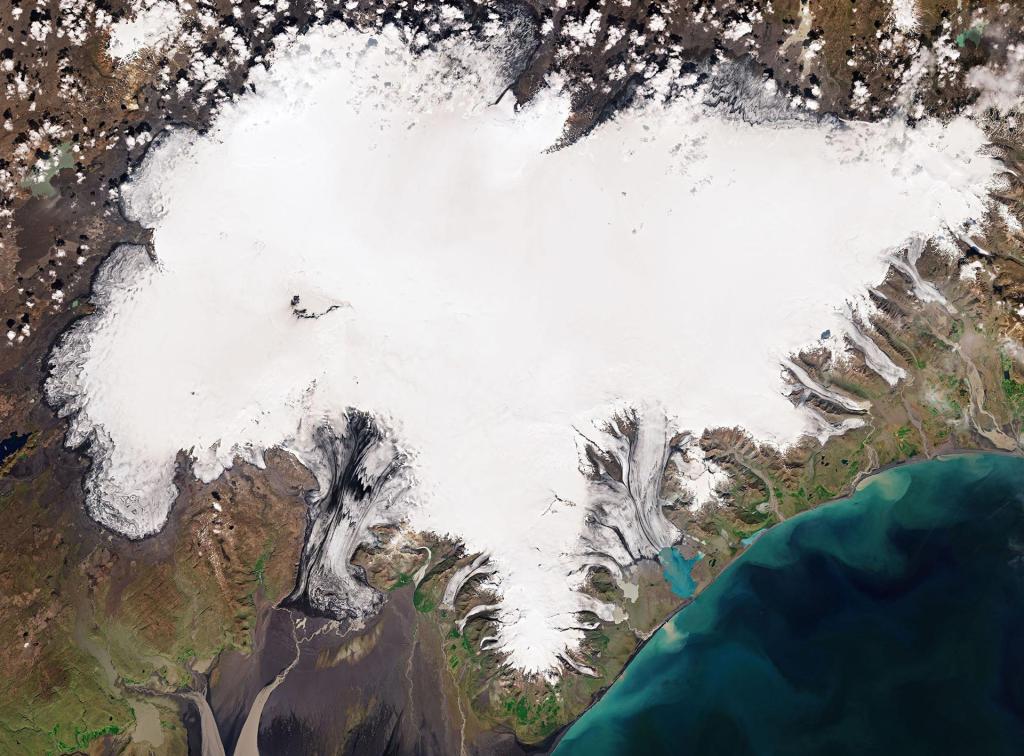
Climate change and the protection of our environment are more on our agenda than ever. “There is an urgent need for action if we are to save our blue planet,” says Dr. Walther Pelzer, DLR Board Member and Head of the German Space Agency at DLR. What specific contribution satellites can make here is the subject of the 3rd symposium“New Perspectives on Earth Observation”that with around 300 participants from science, business and authorities will take place virtually on June 15 and 16, 2021. The focus is on the European Commission’s new climate concept – the so-called “European Green Deal”, with the aim of reducing net greenhouse gas emissions in the EU to zero by 2050 and becoming the first continent to become climate-neutral. The second focus of the symposium is on applications of artificial intelligence (AI) in satellite-based earth observation.
“Satellite-based earth observation is extremely important in order to counter societal challenges such as climate change. Only with data from space can we continuously monitor our environment and give recommendations for action. In addition, satellite-based earth observation enables us to monitor climate protection measures,” explains DLR board member Dr . Walther Pelzer, and adds: “I am very pleased that the event has established itself as a central exchange forum for developers of innovative earth observation applications from science and companies as well as interested users of these developments.” Within the framework of the ESA, Germany is making a key contribution to the further development and use of earth observation technologies and services,
Economy and environment
Earth observation is also a growing industry. The “New Space” sector in the so-called upstream area has picked up speed rapidly in recent years. There are now many different satellite constellations operated by commercial providers that also record data from our earth.
The increasing amount of available data also makes the business with satellite-based services more attractive and leads to numerous new companies being founded. In the so-called downstream sector, particularly small and very small companies are emerging in Germany and internationally who use their know-how to profitably evaluate satellite data. Such application services are increasingly used, among other things, in the performance of public tasks. For example, evaluations from radar satellites help monitor ground movements and monitor infrastructure security. The satellite-based monitoring of greenhouse gases such as methane and air pollutants such as nitrogen dioxide are also used by authorities to create a basis for political decision-making. Other satellite systems,
The new abundance of operationally available earth observation data makes new tools necessary for their analysis. “We have arrived not only with earth observation, but in general in the big data era and are just at the beginning. We are in the middle of the digitization of our society and the diverse data from earth observation are an integral part of it in a fast development and learning process in order to process, integrate and jointly analyze data from a wide variety of sources and sensors from space, from the air and on the ground, “explains Dr. Pelzer. Efficient data management and the use of AI are therefore important elements for the further development of efficient applications. In order to do justice to the special importance of AI,
How Earth Observation Can Contribute to the “Green Deal”:
An example: Freely available data from the European Copernicus program are often used for use in agriculture. The “Sentinel-2” satellite has a spatial resolution of ten meters. Thanks to its infrared channels, it can be used to derive information about the condition of plants. With “Precision Farming” information from the satellite (such as soil moisture, nutrient content, vitality status) is delivered to farmers. With an interface to modern tractors, irrigation can be carried out more efficiently and fertilization is more economical. In addition, crop failures or pest infestation can be detected early from space. Which plant was grown when and where? By determining the plant species, the EU subsidy control can also be supported by satellite.
How Earth Observation Can Use AI:
AI processes are used in a number of different application areas in earth observation. What is often a disadvantage of conventional processes, holds great opportunities for AI: It makes use of the phenomenon of “big data”. Because in order to train AI algorithms, large amounts of data are required, which earth observation satellites can continuously deliver. The combination of different data through fusion is also a very promising topic: DLR supports reference data projects to provide quality-assured labels for “KI&EO”.